
Several geophysical tools are able to estimate ground conductivity and correlate those measurements with subsurface conditions. Ground resistivity changes can be indicative of contaminant plumes, source zones, mass ground ice, thaw bulbs, clay layers, bedrock topography, water table depth, mineralization, and more. Which tool will be most effective for your project depends on the survey objectives and the specific site conditions. We’ll discuss your project to understand the objectives and provide an approach tailored to your needs.
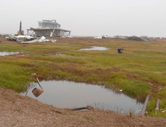
We recently demonstrated the success of electrical resistivity methods for finding gravel deposits on the North Slope of Alaska, an exciting result! Finding gravel with these tools can potentially save a great deal of time and money over using drilling only.

Result from gravel exploration using electrical resistivity: lower, dipping, green-yellow layer was well-correlated with subsurface gravel deposits.
Advantages:
Rapid, cost-effective, non-invasive site investigations
Provide geotechnical and environmental site characterization
Map subsurface contaminants and subsurface structure


Geonics EM31-MK2
The Geonics EM31 conductivity tool provides a non-invasive tool for measuring subsurface conductivity/resistivity. Since there is no need for surface contact, surveys can be accomplished rapidly on most sites. Effective depth of exploration may be as deep as 18 feet, sufficient for most environmental site investigations. The different components of the received signal can allow for simultaneous interpretation of buried metallic structures. The EM34, another tool by Geonics, is often able explore ground conductivity down to almost 200 feet below the surface. This tool is useful for ground-water exploration, for example.

Capacitively-Coupled Resistivity (CCR)
The Geometrics OhmMapper is a capacitively-coupled ground resistivity/ conductivity meter. This technique involves dragging a transmitter and often multiple receiver electrodes across the ground surface. It can be used over frozen ground, snow, ice, concrete, and pavement - CCR works best where the surface is smooth. These surveys take a fraction of the time of traditional electrical resistivity methods, which require planting electrodes in the ground. Maximum depth of investigation is typically 40 to 50 feet in permafrost.

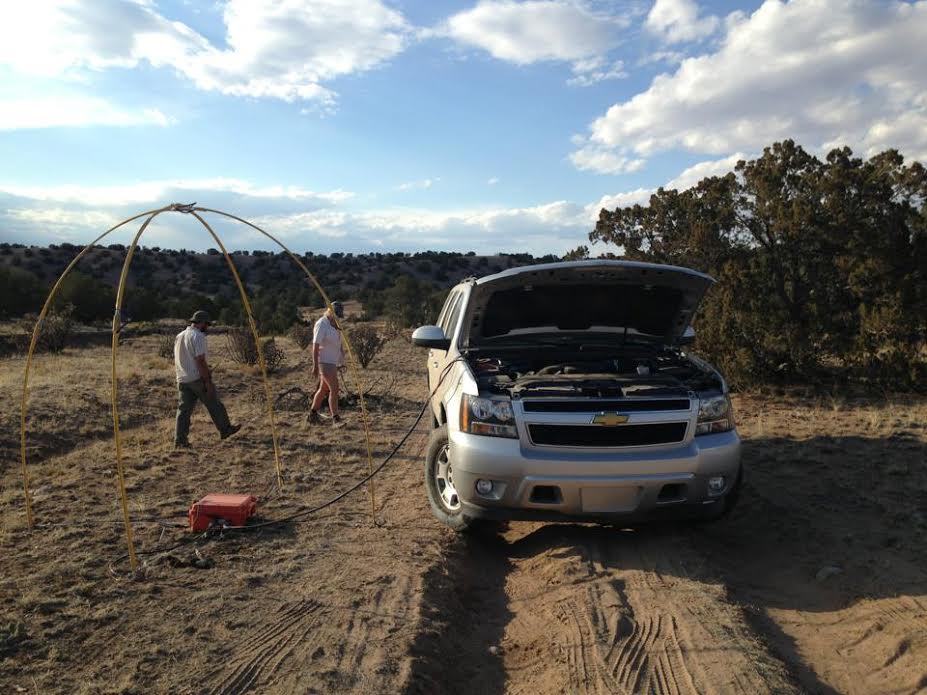
Electrical Resistivity
Traditional electrical resistivity (ERT) surveys rely on electrodes planted in the ground at regular intervals, and corresponding systems to sample the subsurface in various configurations. Depth of investigation depends on electrode spacing, line length, and type of array chosen, and it's possible to image hundreds of feet below the surface. ERT can be used for continuous land surveys to delineate subsurface lithology such as depth to bedrock, gravel deposits, and clay layers. ERT can also image contaminant plumes.
Magnetotellurics
The Geometrics Strategem EH4 is an electrical conductivity imaging tool that can explore ground conductivity hundreds of meters below the surface. It employs a hybrid-source methodology, using a combination of natural magneto-telluric signals and man-made transmitter signals. It's designed for deep groundwater and minerals explorations. We are partnered with the world’s leading expert in this field, Green Geophysics, to offer magnetotelluric surveys.
Overview Resistivity/Conductivity Applications
Permafrost delineation
Aquifer mapping
Gravel exploration
Mapping leachate plumes from landfills
Mapping karsts and caverns
Detect buried stone walls and foundations
Geothermal field development
Mineral exploration